Carnegie, PA, Railroad Map, 1897
 |
| Carnegie, PA, Railroad Map, 1897, drawn by T. M Fowler. U.S. Library of Congress Collection. |
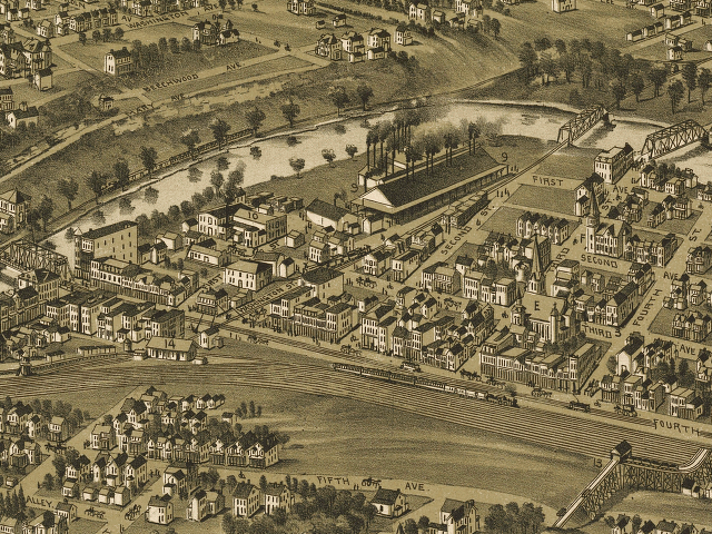
The railroad junction near Washington Street and Fourth Avenue, as shown in a postcard. This railroad line is on the opposite side of Chartiers Creek from the Abbott Ice and Packing Plant, so the station was not used to unload livestock for the plant. According to the 1896 Sanborn Insurance map, the tracks along Fourth Avenue belonged to the R. C. C. & St. L. Railroad and the track along Washington Avenue is the Washington Branch Railroad.
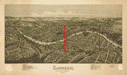 |
| Location of the above close-up map within the entire Carnegie, Pennsylvania, Map, 1897, drawn by T. M Fowler. U.S. Library of Congress Collection. Click on the map for a larger version. |
Source:
Library of Congress Geography and Map Division, Washington, D.C. 20540-4650 USA
Call number: G3824.C314A3 1897 .F6 Fow 72
http://hdl.loc.gov/loc.gmd/g3824c.pm007480