St. John's Evangelical Lutheran Church Maps, 1896-97
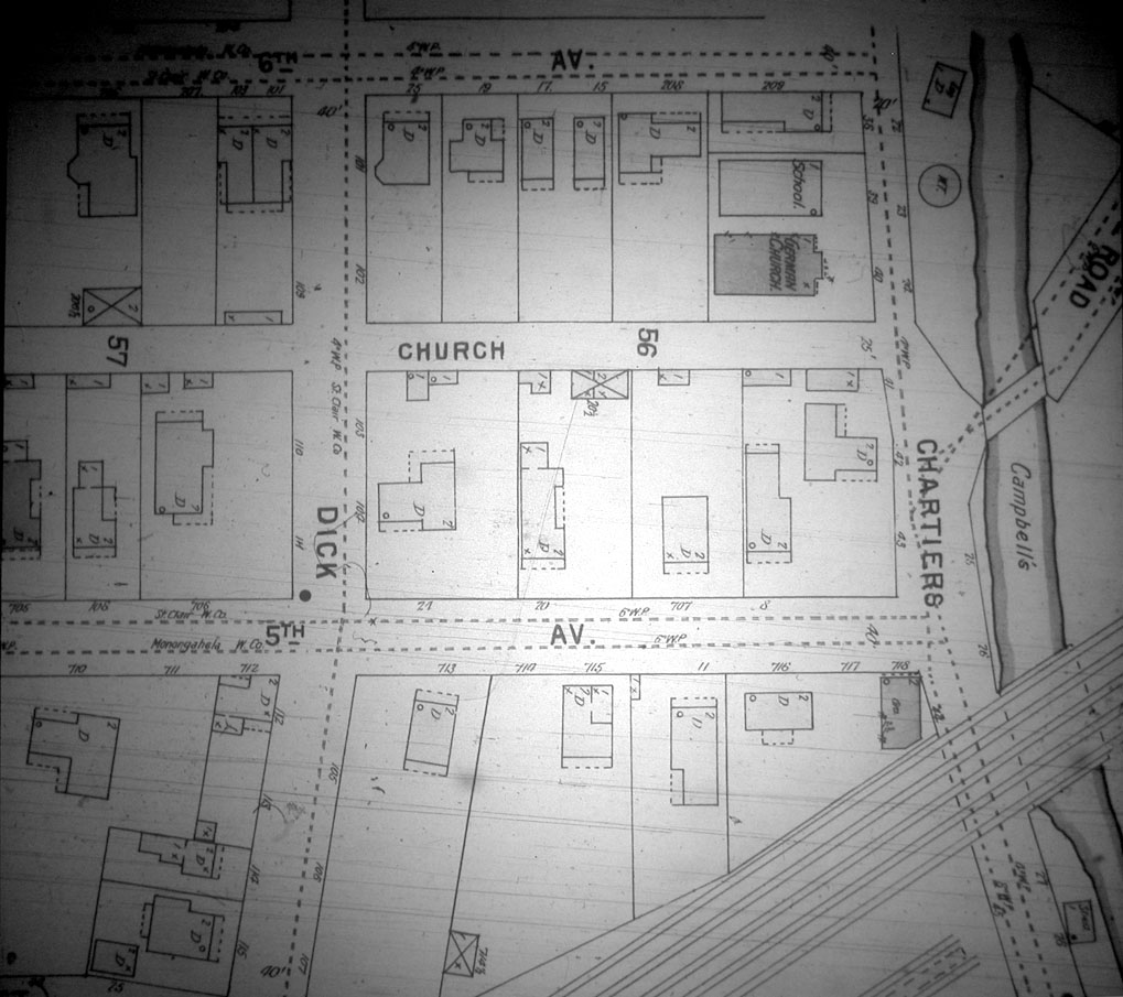 |
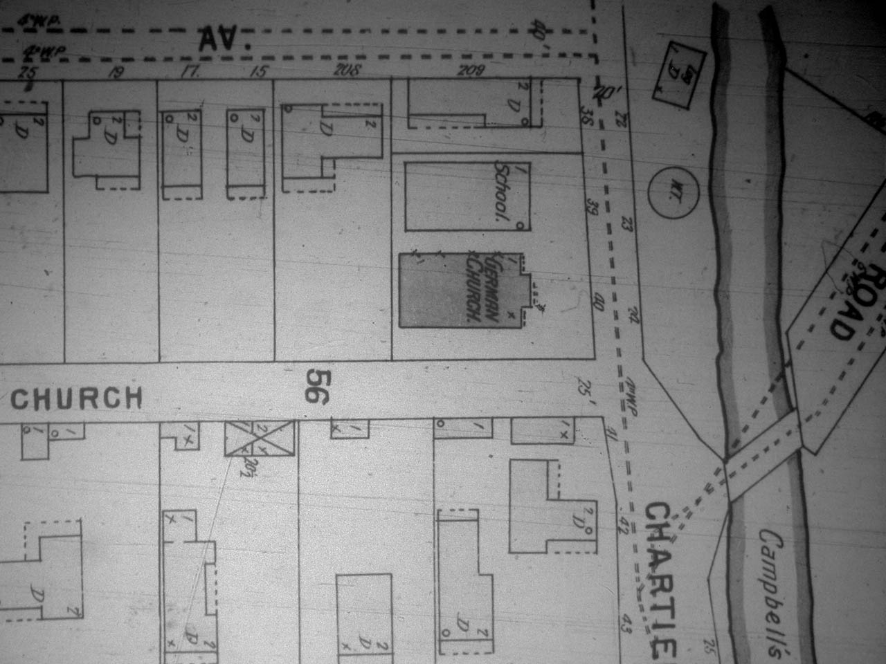
| St. John's Evangelical Lutheran Church, Sanborn Map Company, 1896. See a close-up view. The St. John Evangelical Lutheran Church met at the corner of Sixth and Highland Avenue with their parochial school next door, built in 1885-86. The St. John Evangelical Lutheran Church met here until they moved to 601 Washington Street in 1928. The Abbott family were members of the St. John Evangelical Lutheran Church in Carnegie. In 2004, this church building is now being used as a warehouse. See a more complete description with recent photographs. |
Source:
Sanborn Map Company, 1896
What are the Sanborn fire insurance maps?
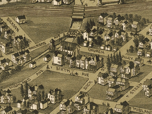 |
| St. John Evangelical Lutheran Church Map, 1897, the building with an "H" on the roof, drawn by T. M Fowler. U.S. Library of Congress Collection. |
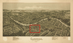 |
| Location of the above close-up map within the entire Carnegie, Pennsylvania, Map, 1897, drawn by T. M Fowler. U.S. Library of Congress Collection. Click on the map for a larger version. |
Source:
Library of Congress Geography and Map Division, Washington, D.C. 20540-4650 USA
Call number: G3824.C314A3 1897 .F6 Fow 72
http://hdl.loc.gov/loc.gmd/g3824c.pm007480